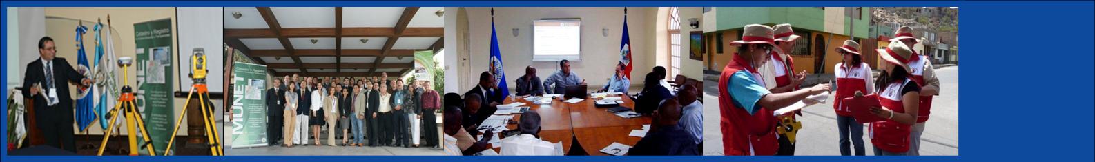
OAS Cadastre Activities 


Foncier Haïti: Modernization of Cadastre and Land Rights Infrastructure (LRI) in Haiti
By the request of the Government of Haiti at the margins of the UN General Assembly of 2009 in New York and considering the tremendous needs of this hard hit Caribbean country after the January 12, 2010 earthquake, the OAS together with its alliance for the modernization of the cadastre embarked in a series of technical missions with the objective of support Haiti in its effort for modernizing its cadastre as a basic tool for its reconstruction and future development. Cadastre and LRI should be a basic countrywide grid for identifying parcels, recording property rights information and providing proof of ownership in order to empower Haitians, to generate transparent environments for national and foreign investors, to strengthen the rule of law and to improve democratic governance, among others.
The project aims at supporting Haiti’s reconstruction in the short term by providing cadastre/land-tenure information to priority reconstruction projects such as housing, and to strengthen cadastral Haitian capacities in the long term for the establishment of its land rights infrastructure based on consensus, where the principal actor is the Haitian community for its development and prosperity.
Foncier Haïti was prepared by the Government of Haiti and the Organization of American States with the valuable and appreciated technical contributions from the Government of Quebec through the Ministry of Natural Resources and Wildlife, GéoQuébec, the École Nationale d’Administration Publique (ENAP) of the Government of Québec; Hernando de Soto and the Institute for Liberty and Democracy (ILD), Trimble Navigation, the Environmental Sciences Research Institute (ESRI), Stewart Global Solutions, and the OAS network of cadastre experts. For the Government of Haiti the leading supporters and counterparts are the Prime Minister, Jean-Max Bellerive, and Minister of Public Works, Transportation and Communications, Jacques Gabriel. The OAS recognizes the institutions responsible by Haitian law in relation to the cadastre and land rights infrastructure in Haiti; the institutions and stakeholders to participate in the project are: the National Office of Cadastre (ONACA), the Direction Générale des Impôts (DGI), the Centre National de l’Information Géospatiale (CNIGS), the Association of Notaries and the Association of Surveyors, and other relevant actors.
Click the links below to see Foncier Haiti project information:
Foncier Haiti was also presented at the World Bank Land and Policy Administration conference in 2010, click here to see the presentation.
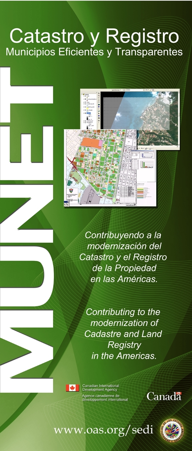
MuNet Catastro
increased decentralization processes in Latin America have placed a larger role on local governments or municipalities for improved governance. One of the immediate consequences is that local governments now have more responsibilities to both provide services and to find sources of income. However, many of the region’s local governments do not have the necessary technical knowledge, properly trained human resources, technological tools and/or financial resources to adequately fulfill this new role.
 This situation is especially significant in areas that are crucial for municipal development such as cadastre and land property registration. These two interconnected responsibilities provide the basis for development and growth; while property tax collection represents a crucial income, land property represents collateral for access to credit through the land title. There is a strong need for modern systems and procedures that up-date cadastre and land property records and provide more transparent and efficient services to the population. Upgrading cadastre and land registry systems, in both data and procedures, is essential for municipalities to increase property tax collection, which is generally the single most important source of income for local governments, and to set the stage for potential economic growth.
To resolve this situation, most municipalities are opting for the integration of information and communication technologies (ICTs) to improve overall operations. The specific ICT applicable to address this issue of cadastre and land property registry are Geographical Information Systems (GIS). Many municipalities are undertaking efforts not only to update but to modernize and strengthen their cadastre and land property operations and institutions through GIS systems, which improve the management of the cadastre and land registries data banks, increase transparency, and, very significantly, enable the local government to increase property tax collection revenue. In addition, other areas of government consult the GIS database for improved planning and development (for instance, planning urban growth, sewer and water lines, emergency response routes and locations, determining commercial, residential and industrial land value, etc). The regularization of land titles as a result of the land property update has two important effects. Title to land also gives the land "legal personality" (identity) by virtue of which it can be sold, used as collateral for securing loans and otherwise manipulated, thereby bringing more individuals into the formal economy and generating income or access to funds for people who hitherto have been unable to breach that major barrier. That is, on the one hand, it enables individuals to approach lending institutions and, on the other, gives a necessary security for the private sector to invest whether in real estate or in establishment of businesses. In addition to the lack of financial resources, the main problems faced by municipal governments are lack of necessary technical knowledge and methodological approaches needed to successfully plan and implement.
MuNet Cadastre (Efficient and transparent Municipalities) is a project part of the portfolio initiatives of the Government of Canada though its Canadian International Development Agency (CIDA) aiming at the strengthening of municipal cadastre institutional capacities and the improvement of democratic governance.
The MuNet Cadastre Project has 2 phases; phase I supported direct modernization of municipalities and Phase II supports the modernization of municipalities through a national approach in coordination of the cadastre central government agencies.
Munet Catastro I
Phase I of the MuNet Cadastre project began its implementation in 2006; during the first phase the OAS worked with 10 municipalities and implementing 5 comprehensive GIS cadastre projects and providing GIS software and support to 5 additional ones. Some of the concrete results from the implementation of these projects include: training of more than 200 public officials; aerial/satellite pictures of municipalities; update of 80% of land parcels and digital cartography; hardware acquisition and installation; 30% average of increase in new taxpayer base; implementation of GIS software in 10 municipalities; 40% increase in registration and tax control; and new procedures implemented, among others.
The countries where the 10 projects were implemented are: Venezuela, El Salvador, Costa Rica, Ecuador, Chile and Paraguay.
Munet Catastro II
Phase II of the MuNet Cadastre project began its implementation in 2008 and works with a national approach in countries such as El Salvador, Ecuador, Bolivia, and Guatemala. The final goal is to strengthen municipal cadastral capacities jointly with central government for a well coordinated cadastre modernization effort that can be sustainable in the future and aims at not only strengthening municipal cadastre capacities, but also national cadastral capacities by the exchanging of decentralized and centralized data base geographical information systems.
The support of MuNet includes:
- Workshops and training
- Establishment of a national Alliance for the modernization of the cadastre
- Implementation of a modernization project in a municipality (Imagery, GIS, GPS, Equipment and technical assistance)
Antigua and Barbuda Cadastre Modernization Project
 Under a Public-Private partnership Framework, the OAS and the multinational Stewart Global Solutions embarked in an initiative aimed at contributing to the improvement of the land administration, property registry, tax revenue collection and transparency of the public administration of the eastern Caribbean countries (OECS), trough an integration of the cadastral and registry systems. The pilot Project for this regional initiative was implemented in Antigua and Barbuda.
____________________________________________________________________________________________________________________